Welcome to County Line
Start Photo Tour Here
Location: Map, Further - Mapquest
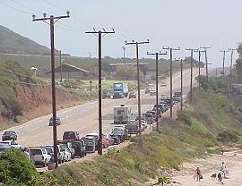
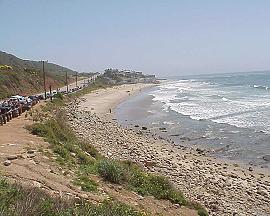
PCH 'tween Tonga St. and Yerba Buena Rd.
Ventura, CA 90265
Hours: Sunrise to sundown
Parking: There is free parking on the Pacific Coast Highway and in the dirt parking lot above the point.
Phone: (818) 880-0350
Beach Information
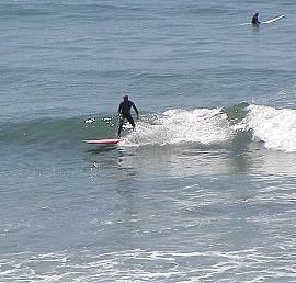
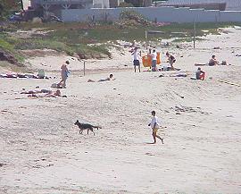
Special Comments: Ventura County Line is a favorite beach for surfers and divers. It has a beach break with good peaks for surfing and a point break that stays glassy from the thick kelp beds. When the waves are small and the water visibility is clear, diving conditions can be good to excellent. There are outer reefs for scuba diving that have an abundance of sea life. There are no lifeguards on the beach. Facilities include diving, food stand(s), restrooms, surfing, tide pool.
Food/dining: No food available on the beach
Restrooms: Portable restrooms are available by the dirt parking lot above the point.